Maps / print and explore
Maps to print and explore
Interactive and printable maps drawn from public boundary data. Each file is one page, comes as PDF and SVG, and names its source.
PRINT
Printable US map
Blank, with abbreviations, with names, with capitals, plus a numbered quiz sheet and answer key.
EXPLOREUS map with capitals
Tap a state to see its name, abbreviation and capital.
HISTORY13 colonies map
The colonies by region on today's state outlines.
REFERENCEUS territories map
Where the five inhabited territories and the smaller islands lie.
World / blank maps
Blank maps of Europe and Asia
Country outlines from Natural Earth. Both follow internationally recognized borders, and the matching quizzes use the same shapes.
-
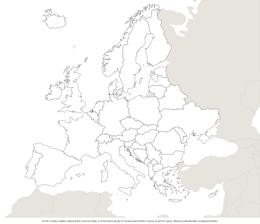 Blank map of Europe Pairs with the Europe map quiz
-
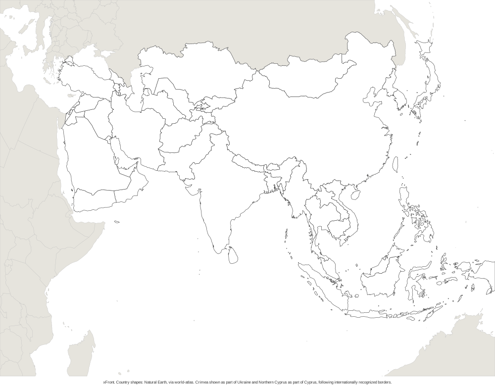 Blank map of Asia Pairs with the Asia map quiz